Description
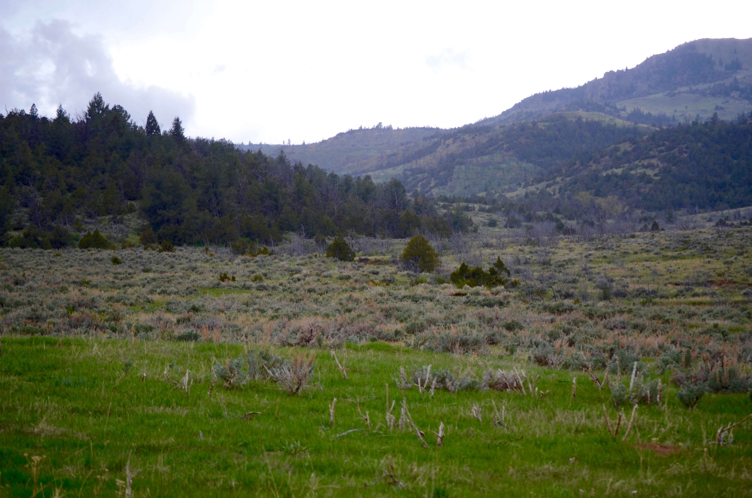
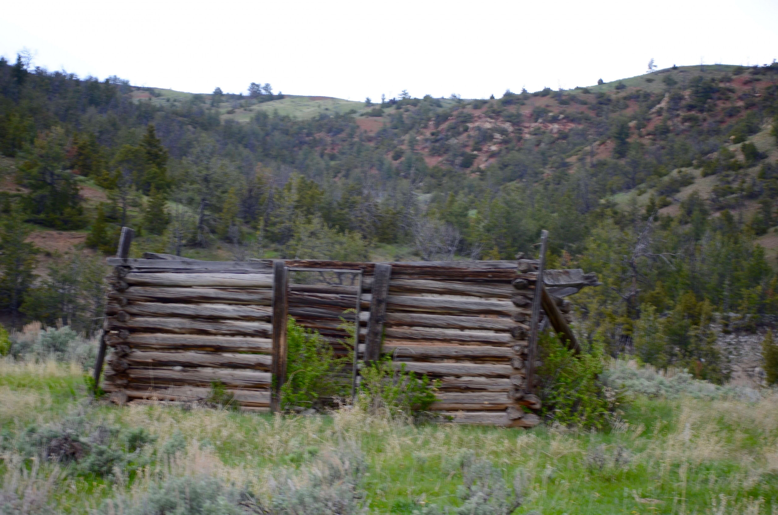
Lying in NW Hot Springs and SE Park counties on the eastern side of the Absaroka mountain range. This multi-generation owned pasture is located within the Greater Yellowstone Ecosystem, one of the last remaining large, nearly intact ecosystems in the northern temperate zone of the Earth.
Accessed via HWY 120 W, 17 miles south from Meeteetse or 40 miles north from Thermopolis, then over county (LU Ranch Road) and private two track roads about 15 miles southwest.
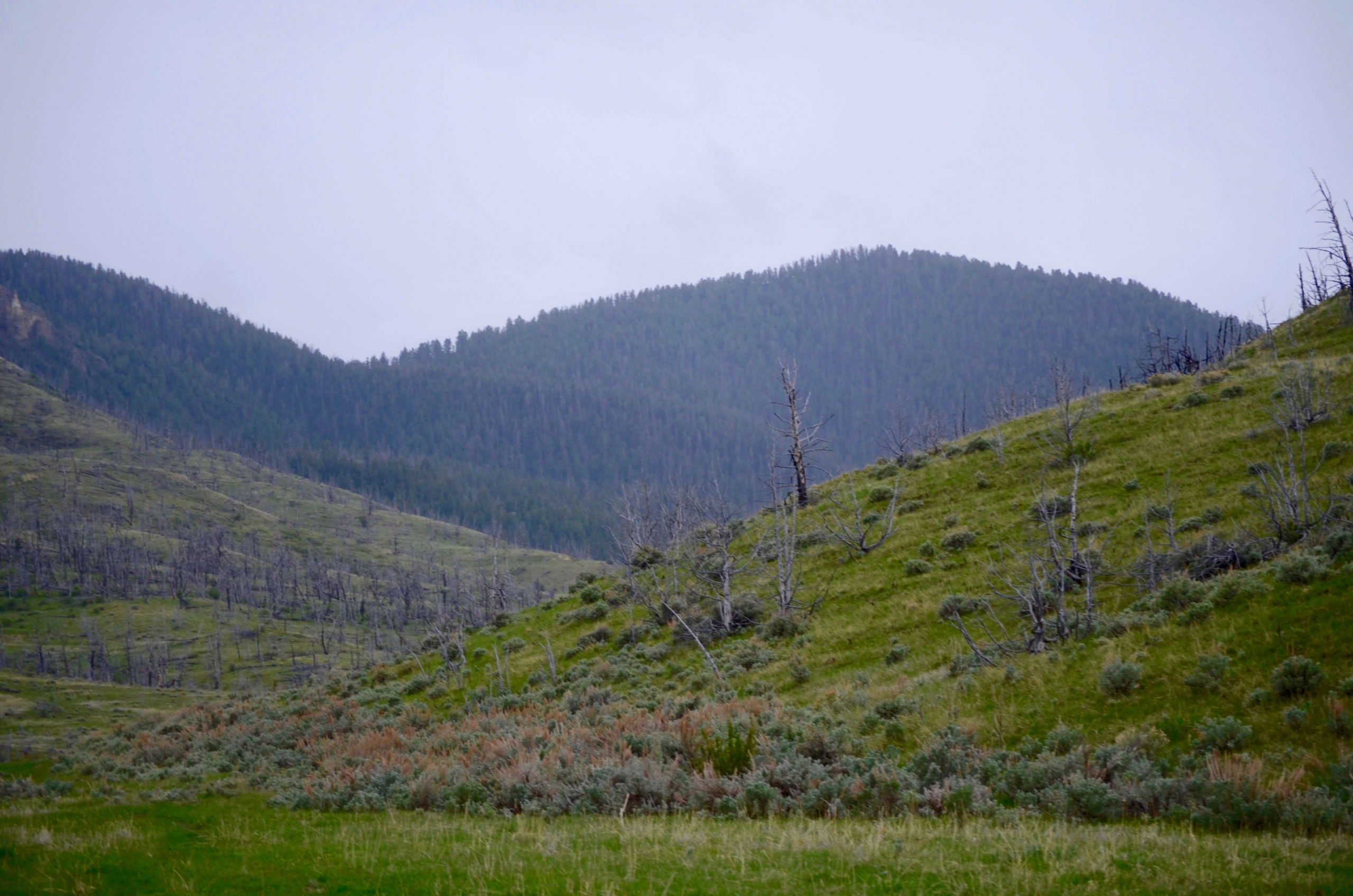
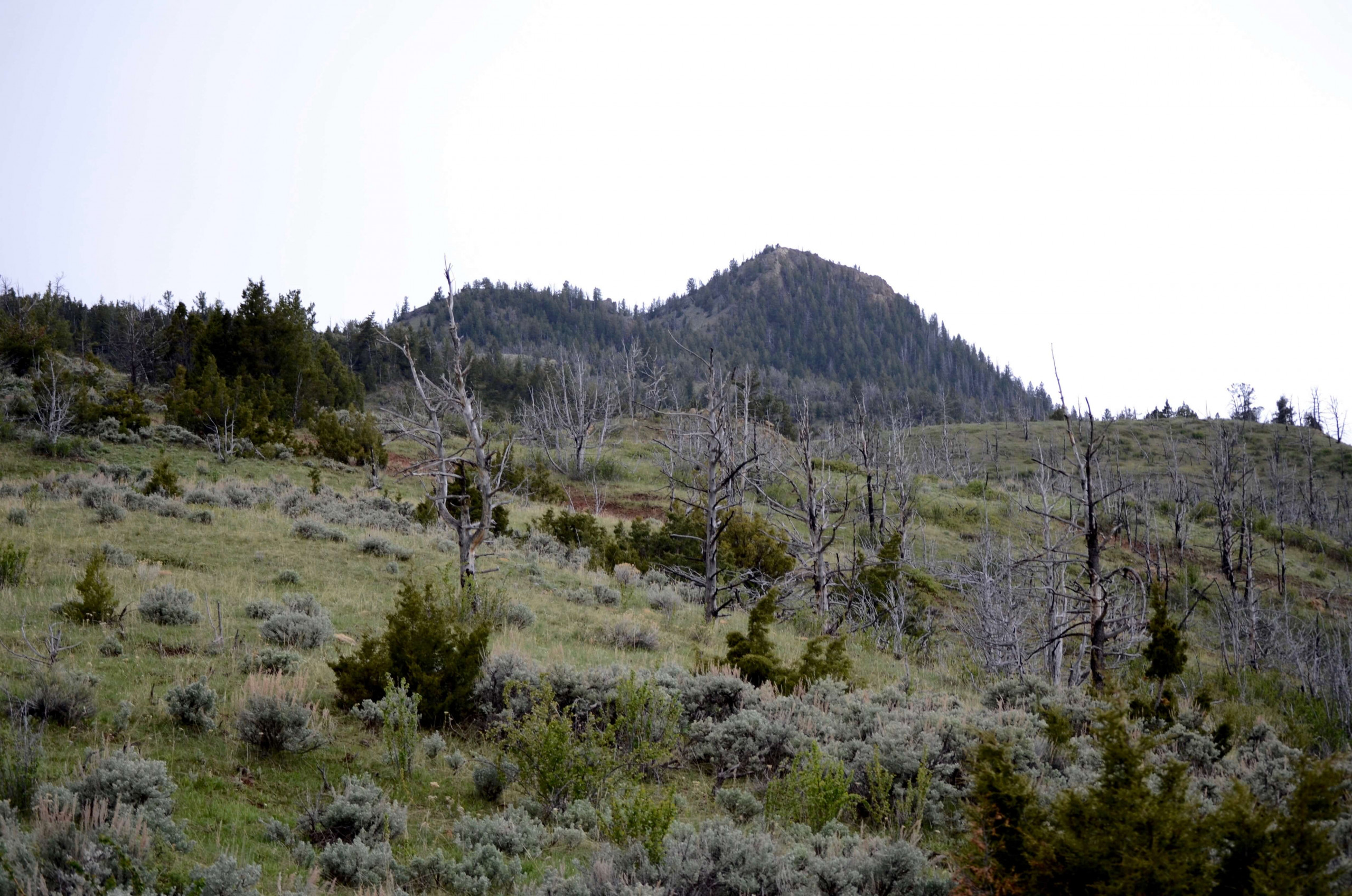
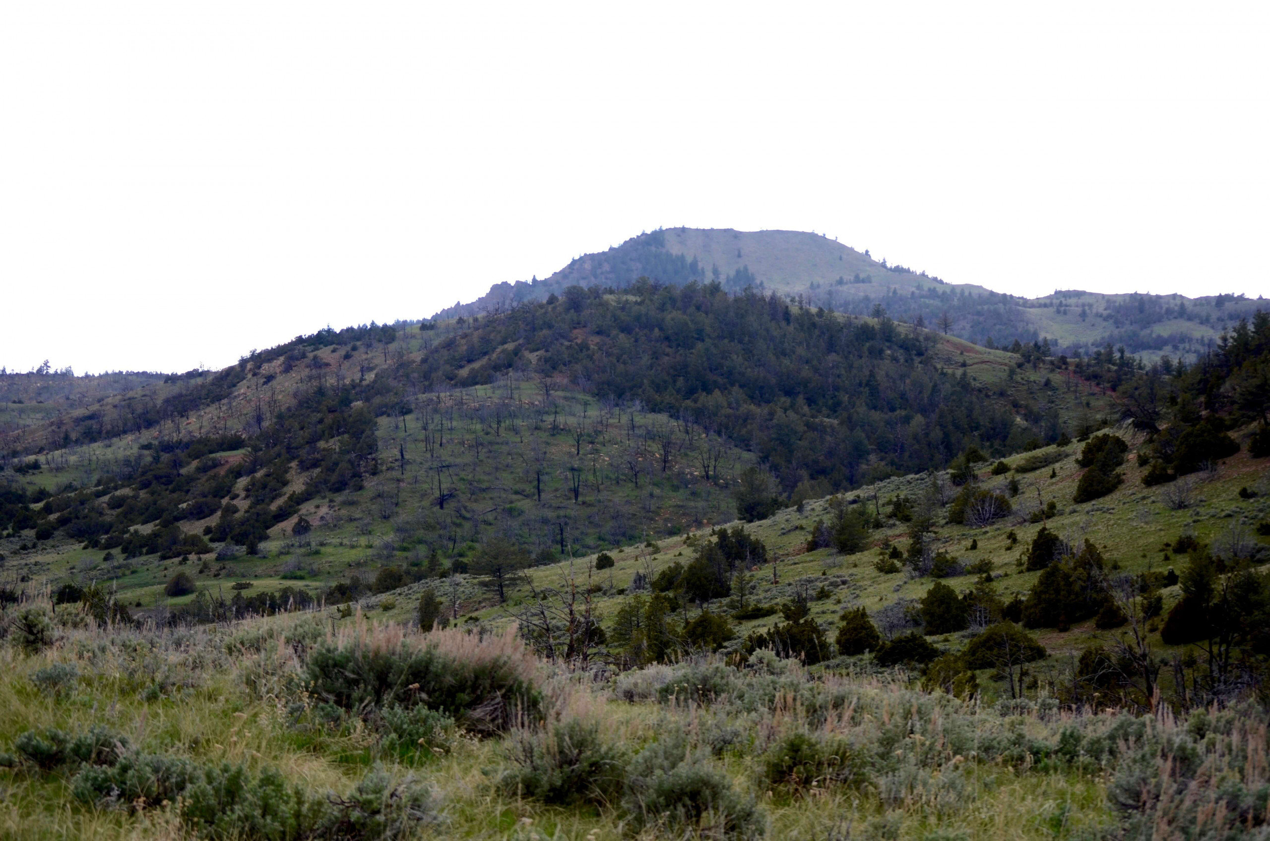
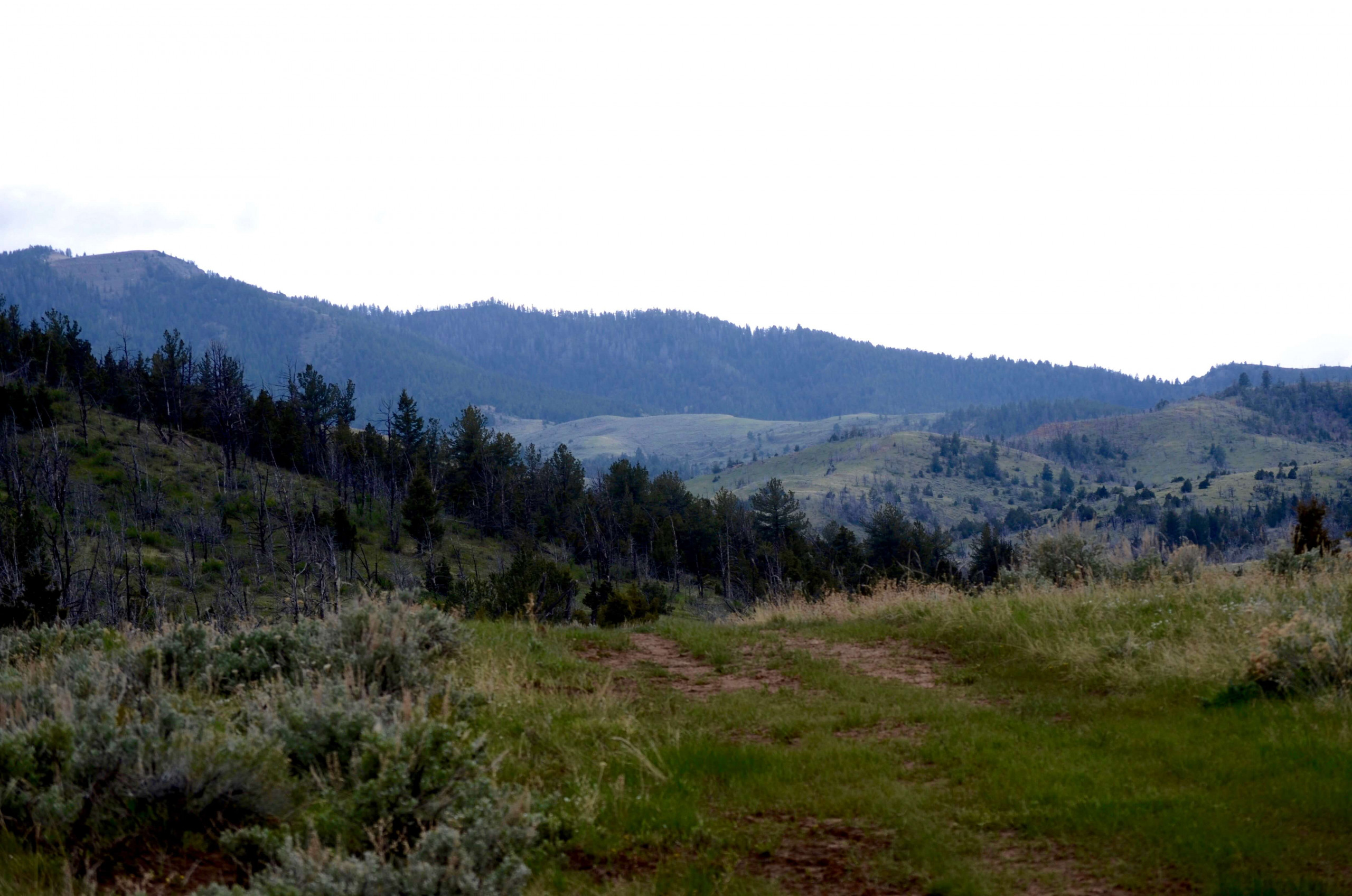
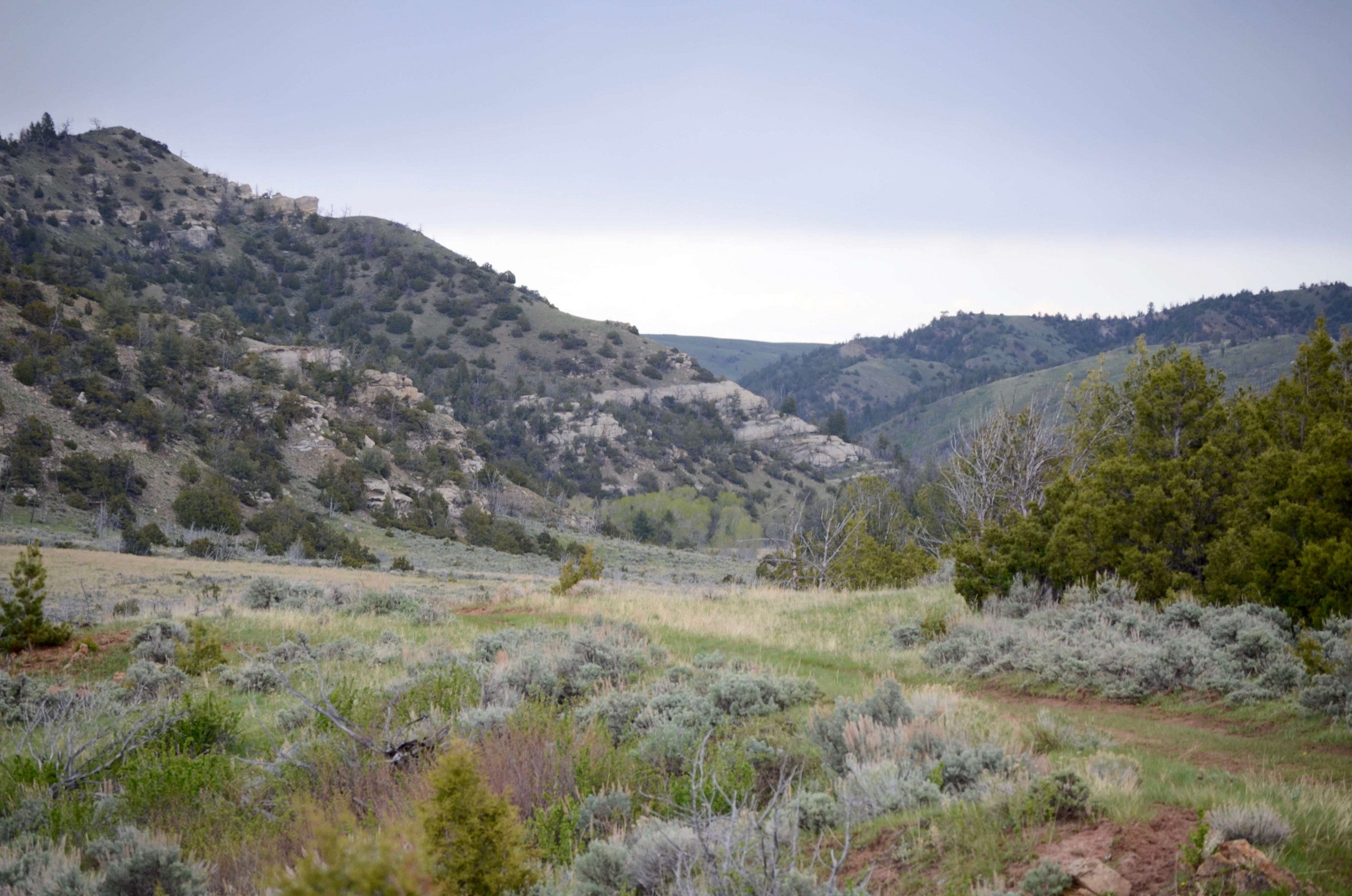
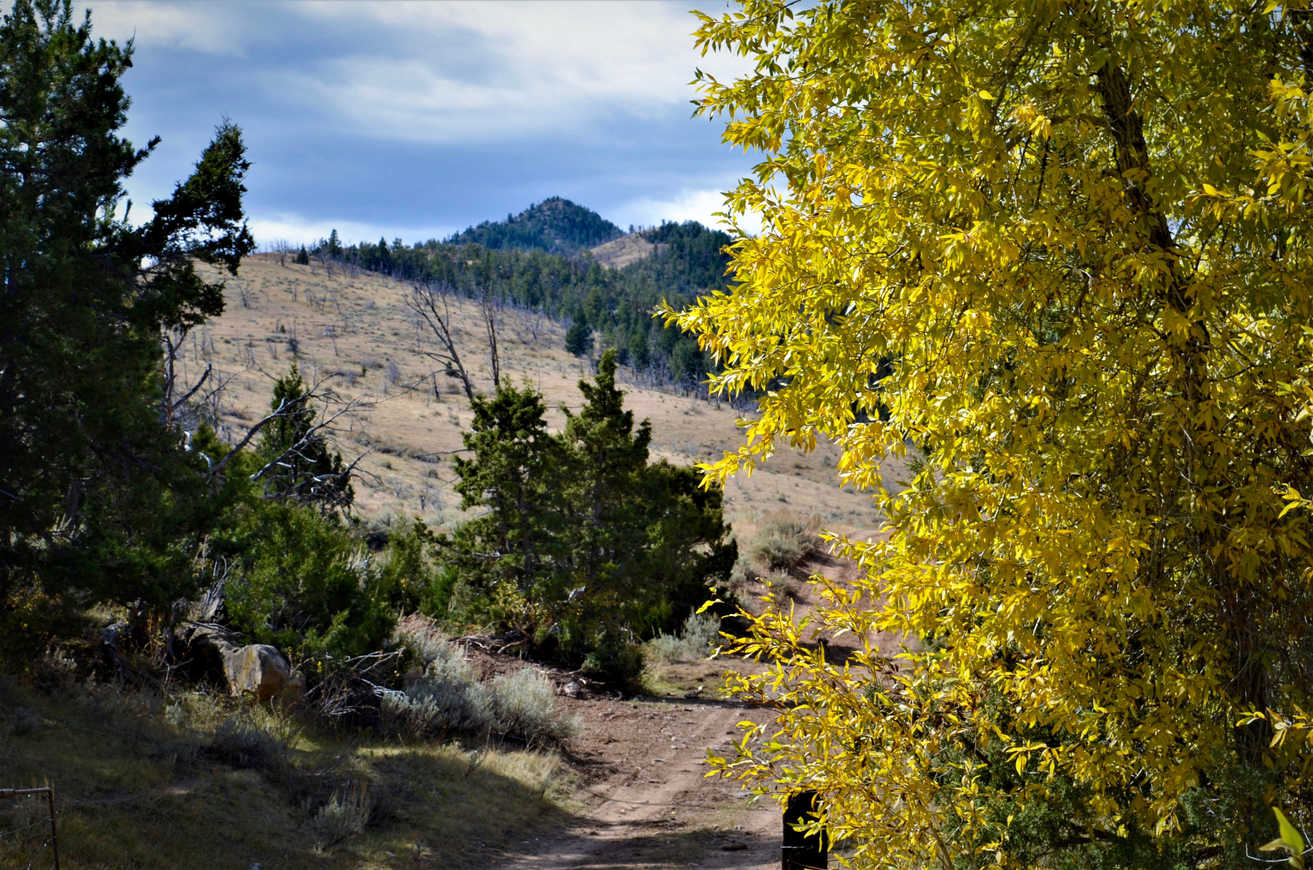
Lying in a small basin at the upper reaches of the Gooseberry drainage, the property is comprised of two small spring fed drainages separated by a timbered divide. High point on the property along the divide is Leon Baird Peak with an elevation of 7,722 feet above sea level. Elevation ranges from this high point of 7722 feet to about 6600 feet. Topography ranges from flat open drainages, to rolling sandstone and juniper benches, and steep, heavily timbered slopes.
The pasture is secluded by natural barrier and private large block ranches. It lies about 5 miles from the east boundary of the Shoshone National Forest, which can be accessed foot or horseback from the property through public lands. The Shoshone Forest, stretches all the way to Idaho and Montana on contiguous public lands.
Middle Creek is a small flowing stream that traverses the length of the western boundary. It heads about 4 miles to the west of the property on BLM and Shoshone National Forest. Grants draw lies on the east side of the pasture and is a spring fed intermittent stream running the length of the property.
In addition to the 1349 deeded acres, a 577 acre 126 AUM permit lies within the boundary of the property. Traditionally used as the summer range for the ranch, the owner currently leases the grass to a neighbor on a year to year basis.
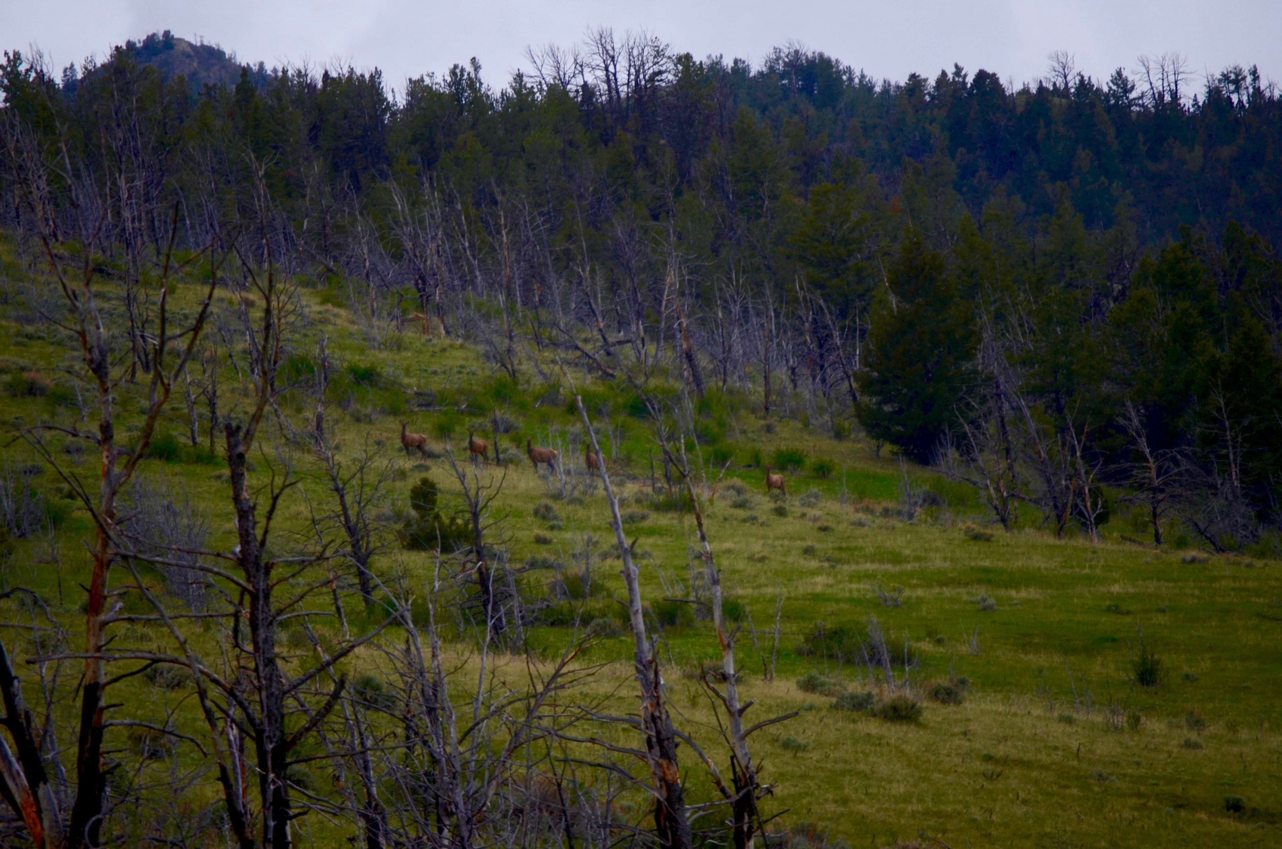
The area is a well known big game hunting destination and is currently managed as a Hunter Management Area by the Wyoming Game and Fish. Known as the Absaroka Front, it sits in Elk area 63, Deer area 118, Moose area 9, and antelope area 77. The ranch is also home to black and grizzly bear, as well as wolves, mountain lion, and variety of other predators, small game and upland birds. Owners have historically qualified for landowner Elk tags.
NOTE:
INFORMATION ON BAIRD PEAK RANCH WAS OBTAINED FROM SOURCES DEEMED TO BE RELIABLE, BUT IS NOT GUARANTEED BY WESTERN LAND SALES OR THE SELLER. THIS OFFERING IS SUBJECT TO PRIOR SALE, PRICE CHANGE, CORRECTION OR WITHDRAWAL WITHOUT NOTICE.
Address
Open on Google Maps- Address Hot Springs County
- City Thermopolis
- State/county Hot Spring / WY
- Zip/Postal Code 82433
- Country United States
Details
Updated on November 4, 2022 at 7:24 pm- Property ID: HZ10
- Price: na
- Land Area: 1349 acre
- Property Type: Farm and Ranch
- Property Status: Sold
Additional details
- Hunting: 20%
- Pool Size: 300 Sqft
- Last remodel year: 1987
- Amenities: Clubhouse
- Additional Rooms:: Guest Bath
- Equipment: Grill - Gas
Features
Floor Plans
- Size: 1267 Sqft
- 670 Sqft
- 530 Sqft
- Price: $1,650

Description:
Plan description. Lorem ipsum dolor sit amet, consectetuer adipiscing elit, sed diam nonummy nibh euismod tincidunt ut laoreet dolore magna aliquam erat volutpat. Ut wisi enim ad minim veniam, quis nostrud exerci tation ullamcorper suscipit lobortis nisl ut aliquip ex ea commodo consequat.
- Size: 1345 Sqft
- 543 Sqft
- 238 Sqft
- Price: $1,600

Description:
Plan description. Lorem ipsum dolor sit amet, consectetuer adipiscing elit, sed diam nonummy nibh euismod tincidunt ut laoreet dolore magna aliquam erat volutpat. Ut wisi enim ad minim veniam, quis nostrud exerci tation ullamcorper suscipit lobortis nisl ut aliquip ex ea commodo consequat.


